Context
Completed as a three-week final project for CS 7630: Autonomous Robotics at Georgia Tech-Europe.
Scenario
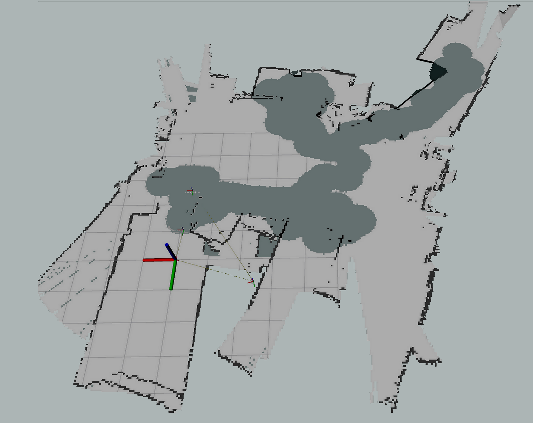
In this project, we used a TurtleBot, ROS packages, and CoppeliaSim to localize a robot and map Wi-Fi signal strength across the first floor of the university. The project integrated the following capabilities:
- Localization with odometry
- Mapping using TurtleBot’s Kinect point cloud
- A* and Dijkstra path planning for exploration and obstacle avoidance
- Joystick control and laser-based collision prevention
- Autonomous docking using the TurtleBot
autodockpackage
Steps
- Undocking
- Exploring
- Publishing the signal-strength map